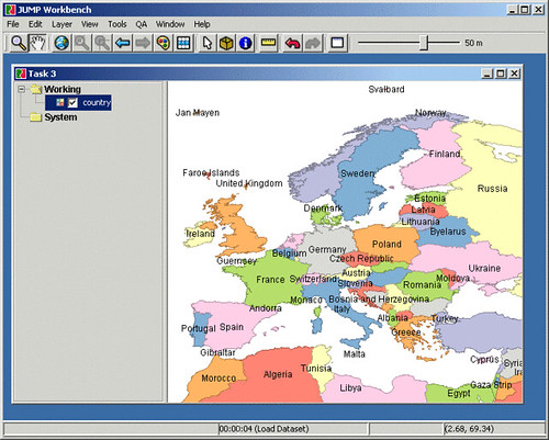
It's called JUMP, and you can use it to edit Shapefiles and GML. If you're learning Java it's also a good example of design patterns and Swing. And if you've been wanting to contribute to an Open Source project, this might be a fun one for you.
JUMP is free; and it has been used on an important government project (RoadMatcher).
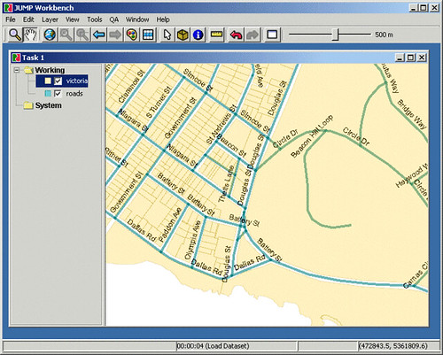
Screenshots: http://jump-project.org/project.php?PID=JUMP&SID=OVER
Download: http://jump-project.org/project.php?PID=JUMP&SID=DOWN
Mailing-List (our beloved JUMP community): http://jump-project.org/project.php?PID=JUMP&SID=MAIL
Update: Some enthusiastic JUMP users have decided to create their own customized version of JUMP, which will be called OpenJUMP: http://jump-pilot.sourceforge.net/index.php
Looks Interesting! Thanks for your comment on my blog. 1st I've ever gotten! Good luck with your Continuous Integration efforts. Once you start, you'll never go back.
ReplyDeleteGood to hear from you Steve! I'm looking forward to entering the world of Continuous Integration (I assume you are referring to Cruise Control).
ReplyDeleteSteve was referring to my comment on his blog post: http://stevedonie.tripod.com/blog/2004/09/pragmatic-automation-if-you-just-cant.html
ReplyDeleteWhy would someone have Jan Mayen and Svalbard on their map of Europe and not Iceland? What do those 7000 polar bears and 2000 sorry gits in Svalbard have that us 300.000 in Iceland don't have? I'm offended as an Icelander :)
ReplyDeletejonathan, nice blog, i will start developing a plugin for JUMP.
ReplyDeleteHi Andres - great! Check out OpenJUMP's new home at http://openjump.org
ReplyDelete